MAPS AND DIRECTIONS
University of Health Sciences and Pharmacy’s nearly nine-acre campus is located within the Washington University Medical Campus in St. Louis’ vibrant and walkable Central West End neighborhood.
Campus Map
Use our interactive map to find key locations on campus, get an inside look at our buildings and facilities, and locate nearby parking lots and dining spots.
Important Addresses
CAMPUS MAILING ADDRESS
University of Health Sciences and Pharmacy in St. Louis
1 Pharmacy Place
St. Louis, MO 63110-1009
CAMPUS SHIPPING ADDRESS
First and Last Name
University of Health Sciences and Pharmacy in St. Louis
4573 Nash Way
St. Louis, MO 63110
UHSP MAIN GARAGE
UHSP Main Garage (formerly Children’s Place Garage)
4531 Nash Way, St. Louis, MO 63110
OR
4531 Children’s Place
St. Louis, MO 63110
Driving Directions
FROM HIGHWAYS 40/64 AND 44:
1
Exit at Kingshighway Boulevard. Head north on Kingshighway.
2
Make a right onto Forest Park Parkway.
3
Make a right onto Taylor Avenue.
4
Make a right at the second stop sign onto Nash Way (formerly Children’s Place).
5
Turn right into the UHSP parking garage, just past the MetroLink garage.
Access complete driving directions from your location or download a printable PDF of the University’s campus and surrounding Central West End neighborhood.
Getting Around
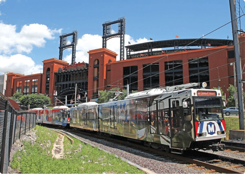
St. Louis is home to Metro, the city’s extensive bus and train system. The Central West End MetroLink stop is conveniently located one block south of campus, giving you easy access to neighborhoods all over the city, St. Louis Lambert International Airport, Amtrak, as well as direct access to St. Louis Cardinals and St. Louis Blues games.
The St. Louis metro area is connected by a network of interstate highways. And, the area is heavily served by ride share services like Lyft and Uber.